

Il n'y a pas une annotation en français. Présenté est une annotation en Anglais.
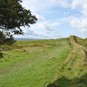
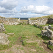
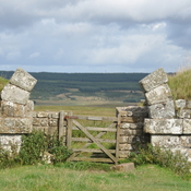
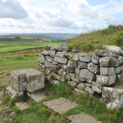
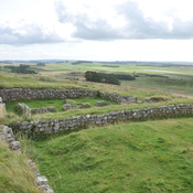
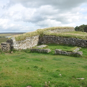
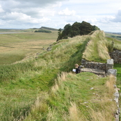
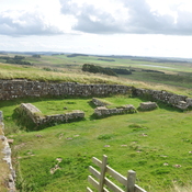
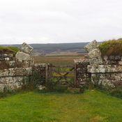
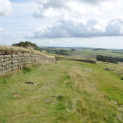
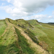
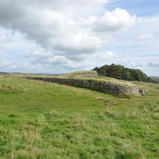
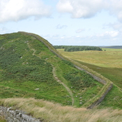
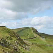
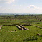
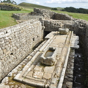
Hadrian’s Wall, Vallum or Fosse
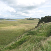
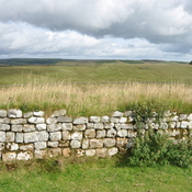
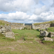
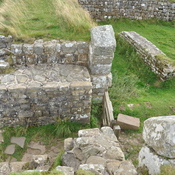
Segments IX - X
Vercovicivm to Aesica
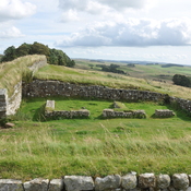
Housesteads to Great Chesters
Mile Castles: 37 - 42
Built: after 128, dating uncertain
Segment Length: 5.8 miles, 9.3 km
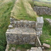
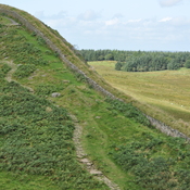
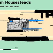
What is commonly called the “Vallum” was a wide ditch flanked by earthen ramparts that ran behind Hadrians wall. Its purpose remains uncertain as it is unique to Roman border fortifications. Possibly it was to define the military zone of the wall and to force trade and transport to follow marked roads to gates in the wall. In many places, it is more visible than the wall itself.
See: http://structuralarchaeology.blogspot.com/2010/11/40-reverse-engineering-vallum.html
https://en.wikipedia.org/wiki/Vallum_(Hadrian%27s_Wall)