

Es gibt noch keine Anmerkungen. Bitte, Informationen einfügen.

Lage:
- Usbekistan, Ir-Sake
- geo:38.421097,67.89653
- Lage ± 0-5 m.
Klassification:
- Beobachtung
- Unsichtbar
Identifiers:
- vici:place=97431
Anmerkungen
In der Nähe
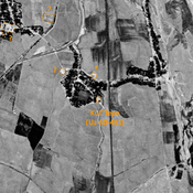
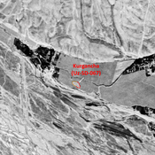
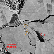
Kul' Tepe (Uz-SD-481) (1 km)
Pre-Mongol Medieval Islamic settlement. Small mound (0,15 ha), visible on Corona imagery (1970), since destroyed bu urbanisation. Surveyed by MAFOuz.
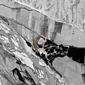
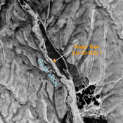
Unidentified site (2 km)
Probable settlement. Located with satellite imagery.
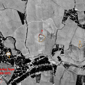
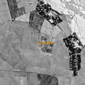
Unidentified site (3 km)
Possible archaeological site. Used today as a cemetery. Located with satellite imagery.