
Es gibt noch keine Anmerkungen. Bitte, Informationen einfügen.

Umgebung:
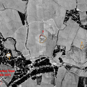
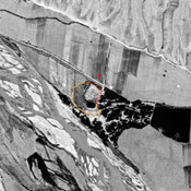
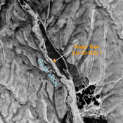
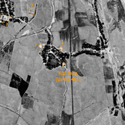
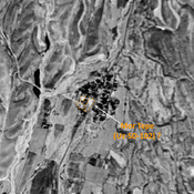

Lage:
- Usbekistan, Kul’-Mazar
- geo:38.459072,67.937874
- Lage ± 0-5 m.
Klassification:
- Beobachtung
- Unsichtbar
Identifiers:
- vici:place=97421
Anmerkungen
In der Nähe
Unidentified site
Probable settlement. Located with satellite imagery
Kum Tepe (Uz-SD-098) (1 km)
Also known as Tortul Tepe. High Medieval settlement (0,2 ha). Studied by Arshavskaja & Rtveladze.
Unidentified site (1 km)
Probable archaeological site. Medium mound, visible on Corona imagery (1970) ; eastern and southern parts destroyed by modern cultivation.