
Vici.org
Il n'y a pas d'images. Télécharger une image.

Les environs:

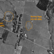
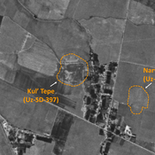
UZB-SD_1970_AS 508 (Chukur)UZB-SD_1970_Pachmak Tepe 586UZB-SD_1970_Jig'ilgan Bobo Tepe 503UZB-SD_1970_Rustam Tepe 516UZB-SD_1970_Shish Tepe 512UZB-SD_1970_AS 523 (Ijtimoyyot)UZB-SD_1970_AS 519 (Khasan-Tepe)UZB-SD_1970_Dunjo Tepe 600UZB-SD_1970_AS 520 (Khasan-Tepe)UZB-SD_1970_US-D (Khasan-Tepe 1)Dal'verzin Tepe (Uz-SD-188)UZB-SD_1970_Budrach 054 - ChaghanianUZB-SD_1970_US-D (Adak 1)UZB-SD_1970_Dzhal' Tepe 574UZB-SD_1970_Katta Tepe 199UZB-SD_1970_Jarim Tepe - Turmalak Tepe (076 and 086)UZB-SD_1970_Narvaj Tepe 396UZB-SD_1970_Kul' Tepe 397

Localisation:

  • Ouzbékistan, Chukur
  • geo:38.129436,67.893181
  • Précision ± 0-5 m.

Period or year:

  • 6xx / 10xx

Classification:

  • Bâtiment
  • Invisible

Identificateurs:

  • vici:place=97341

Annotations

Il n'y a pas une annotation en français. Présenté est une annotation en Anglais.

STRIDE, S. (2004), La Géographie archéologique de la province du Surkhan Darya (Bactriane du Nord, Ouzbekistan du Sud). Unpublished dissertation at the Université panthéon-Sorbonne (Paris), 5 vols. ( https://sirisacademic.academia.edu/SebastianStride?swp=tc-au-44230952 )

STRIDE, S. (2004), La Géographie archéologique de la province du Surkhan Darya (Bactriane du Nord, Ouzbekistan du Sud). Unpublished dissertation at the Université panthéon-Sorbonne (Paris), 5 vols. ( https://sirisacademic.academia.edu/SebastianStride?swp=tc-au-44230952 )


À proximité

Anonymous site (Uz-SD-508)

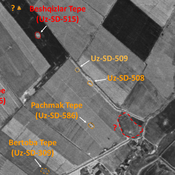
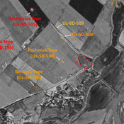
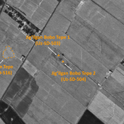
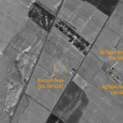
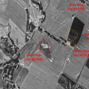
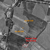
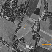
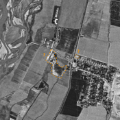
Early Medieval site. Very small mound (30x15m), visible on Corona imagery (1970), since destroyed by modern activities. Surveyed by MAFOuz.

Unidentified site

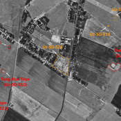
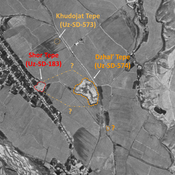
Probable settlement. Located with satellite imagery.

Pachmak Tepe (Uz-SD-586)

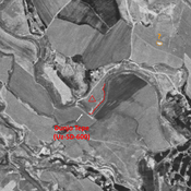
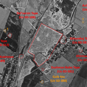
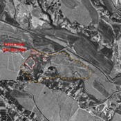
Pre-Mongol Medieval Islamic settlement. Rectangular site (0,25 ha), visible on Corona imagery (1970), since destroyed by modern cultivation. Surveyed and dated by MAFOuz.