
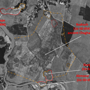
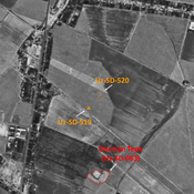
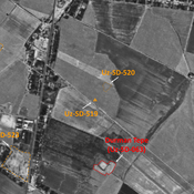
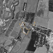
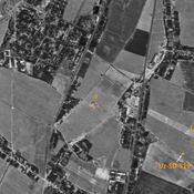
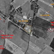
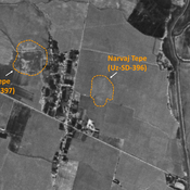
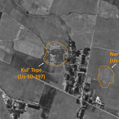
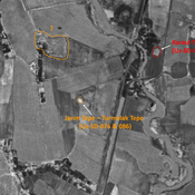
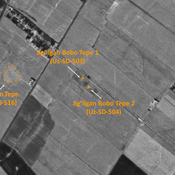
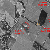
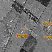
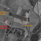
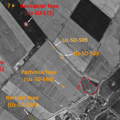
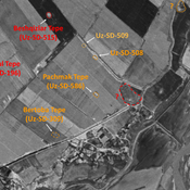
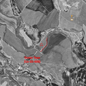
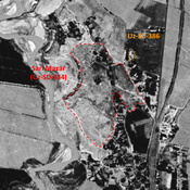
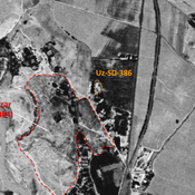
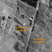
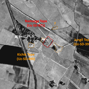
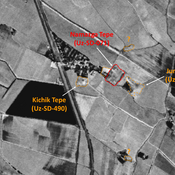
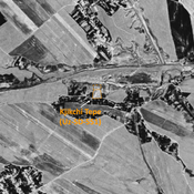
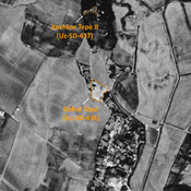
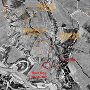
STRIDE, S. (2004), La Géographie archéologique de la province du Surkhan Darya (Bactriane du Nord, Ouzbekistan du Sud). Unpublished dissertation at the Université panthéon-Sorbonne (Paris), 5 vols. ( https://sirisacademic.academia.edu/SebastianStride?swp=tc-au-44230952 )
Localisation:
- Ouzbékistan, Khasan-Tepe
- geo:38.170547,67.931633
- Précision ± 0-5 m.
Period or year:
- 10~ / 10xx
Classification:
- Camp fortifié
- Visible
Identificateurs:
- vici:place=97010
Annotations
Il n'y a pas une annotation en français. Présenté est une annotation en Anglais.
STRIDE, S. (2004), La Géographie archéologique de la province du Surkhan Darya (Bactriane du Nord, Ouzbekistan du Sud). Unpublished dissertation at the Université panthéon-Sorbonne (Paris), 5 vols. ( https://sirisacademic.academia.edu/SebastianStride?swp=tc-au-44230952 )
À proximité
Akmazar Tepe (Uz-SD-054b)
Kushan and High Medieval eroded wall, on a natural loess hill over the Kyzylsu river. Studied by Pugachenkova. Badly damaged by riverine erosion.
Dunjo Tepe (Uz-SD-054a)
High Medieval walled tepe in the SE corner of Budrach shahristan. Probable administrative and palatial center of the town.
Unidentified site (1 km)
Probable settlement. Located with satellite imagery.


