
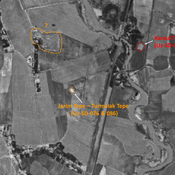
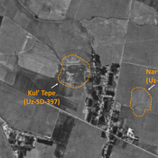
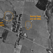
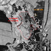
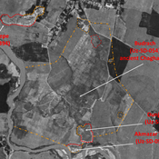
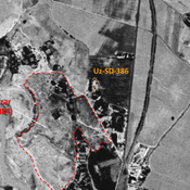
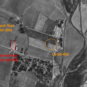
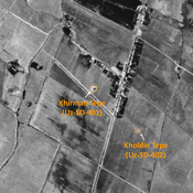
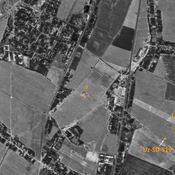
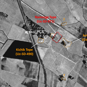
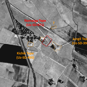
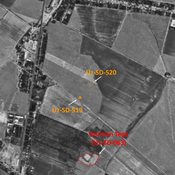
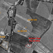
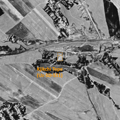
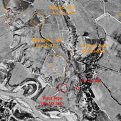
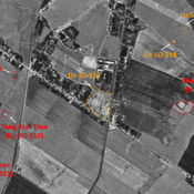
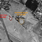
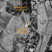
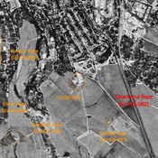
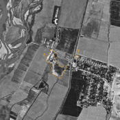
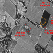
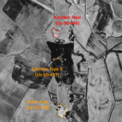
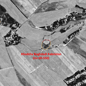
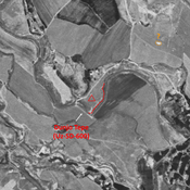
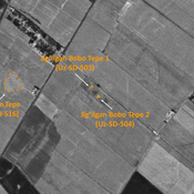
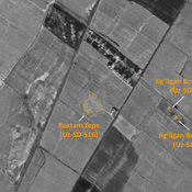
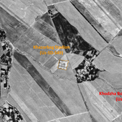
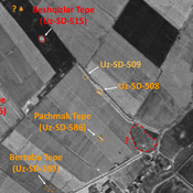
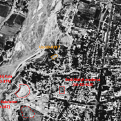
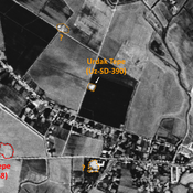
STRIDE, S. (2004), La Géographie archéologique de la province du Surkhan Darya (Bactriane du Nord, Ouzbekistan du Sud). Unpublished dissertation at the Université panthéon-Sorbonne (Paris), 5 vols. ( https://sirisacademic.academia.edu/SebastianStride?swp=tc-au-44230952 )
Er zijn nog geen afbeeldingen met betrekking tot deze plaats toegevoegd.
Afbeelding toevoegen.
Omgeving:
Locatie:
- Oezbekistan, Yangiobod
- geo:38.204121,67.911926
- Locatie precies
Period or year:
- 10~ / 16xx
Classificatie:
- Fort
- Zichtbaar
Identifiers:
- vici:place=96619
Annotaties
Er zijn nog geen Nederlandstalige annotaties. Hier volgen annotaties in het Engels.
STRIDE, S. (2004), La Géographie archéologique de la province du Surkhan Darya (Bactriane du Nord, Ouzbekistan du Sud). Unpublished dissertation at the Université panthéon-Sorbonne (Paris), 5 vols. ( https://sirisacademic.academia.edu/SebastianStride?swp=tc-au-44230952 )
In de buurt
Kurgancha Tepe (Uz-SD-391)
Pre-Mongol Medieval Islamic settlement. Small site, destroyed before 1963. Ceramic studies by MAFOuz.
Jarim Tepe (Uz-SD-086)
High Medieval settlement. Small site (0,04 ha), leveled by modern cultivation. Studied by Arshavskaja & Rtveladze, and MAFOuz.
Unidentified site
Probable settlement, consiting of a north-western citadel and a lower town. Badly damaged and built upon by modern housing. Better visible on Corona imagery (1970).


