Vici.org

Omgeving:

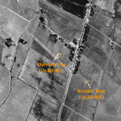
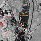
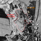
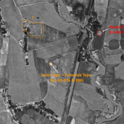
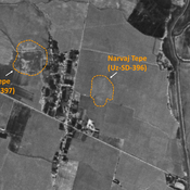
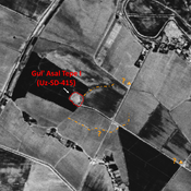
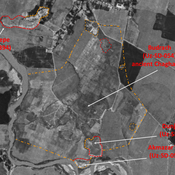
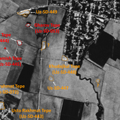
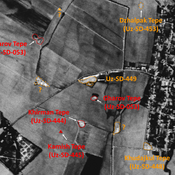
UZB-SD_1970_Kichik Tepe 490UZB-SD_1970_Kattabang Kurgan 388UZB-SD_1970_Khirman Tepe 401UZB-SD_1970_AS 386 (Ishakul’dy)UZB-SD_1970_Sari Mazar 384UZB-SD_1970_Qizil Xoldiq Tepe 373UZB-SD_1970_AS 036 (Denov)UZB-SD_1970_Dzhar Tepe 438UZB-SD_1970_Kochkor Tepe II 437UZB-SD_1970_AS 400 (Surnaytepa)UZB-SD_1970_Kul' Tepe 397UZB-SD_1970_Urdak Tepe 390UZB-SD_1970_AS 039 (Denov)UZB-SD_1970_Jarim Tepe - Turmalak Tepe (076 and 086)UZB-SD_1970_Narvaj Tepe 396UZB-SD_1970_Gul' Asal 415UZB-SD_1970_AS 376 (Denov)UZB-SD_1970_Kjikchi Tepe 551UZB-SD_1970_Usto Rakhmat Tepe 443UZB-SD_1970_US-D (Shaytan 1)UZB-SD_1970_Chimkurgan 082UZB-SD_1970_AS 407 (Denov)UZB-SD_1970_AS 447 (Xolchayon)UZB-SD_1970_Kuzali Tepe 491UZB-SD_1970_AS 416 (Andijon)UZB-SD_1970_Budrach 054 - ChaghanianUZB-SD_1970_Khudajkul Tepe 448UZB-SD_1970_AS 449 (Xolchayon)UZB-SD_1970_AS 457 (Ishan)UZB-SD_1970_AS 289 (Arzamchi)

Locatie:

  • Oezbekistan, Denov
  • geo:38.242477,67.918404
  • Locatie precies

Period or year:

  • 2xx / 3xx

Classificatie:

  • Vicus of canabae
  • Zichtbaar

Identifiers:

  • vici:place=96255

Annotaties

Er zijn nog geen Nederlandstalige annotaties. Hier volgen annotaties in het Engels.

STRIDE, S. (2004), La Géographie archéologique de la province du Surkhan Darya (Bactriane du Nord, Ouzbekistan du Sud). Unpublished dissertation at the Université panthéon-Sorbonne (Paris), 5 vols. ( https://sirisacademic.academia.edu/SebastianStride?swp=tc-au-44230952 )

STRIDE, S. (2004), La Géographie archéologique de la province du Surkhan Darya (Bactriane du Nord, Ouzbekistan du Sud). Unpublished dissertation at the Université panthéon-Sorbonne (Paris), 5 vols. ( https://sirisacademic.academia.edu/SebastianStride?swp=tc-au-44230952 )


In de buurt

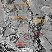
Jingil Tepe (Uz-SD-393)

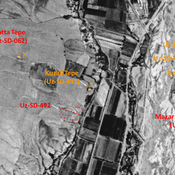
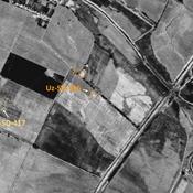
Indistinct mound, visible on Corona imagery, the could mark the limit of

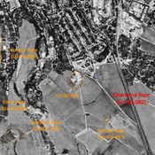
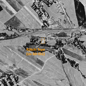
Kichik Tepe (Uz-SD-490)

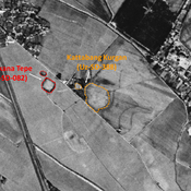
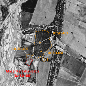
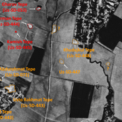
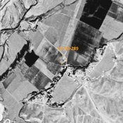
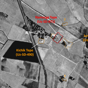
Pre-Mongol Medieval Islamic settlement. Square site (0,5 ha), visible on Corona imagery (1970), since destroyed by urbanisation. Surveyed by MAFOuz.

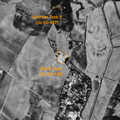
Kattabang Kurgan (Uz-SD-388) (1 km)

Kushan and pre-Mongol Islamic settlement (0,5 ha). Low circular mound, visible on Corona imagery (1970), destroyed by modern cultivation. Studied by MAFOuz.


Dit object is toegevoegd door Julien De Chocqueuse op 2024-04-14. Laatst bewerkt door Julien De Chocqueuse op 2024-07-11. Persistent URI: http://vici.org/vici/96255 . Download als RDF/XML, KML.
Annotatie beschikbaar onder de Creative Commons Naamsvermelding-GelijkDelen 3.0 Unported-licentie. Metadata beschikbaar onder de Creative Commons Publiek Domein Verklaring, tenzij expliciet anders aangegeven.

Vici.org partners:

Livius.org: articles on ancient history   Rijksmuseum van Oudheden