
Vici.org

Omgeving:

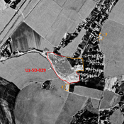
UZB-SD_1970_AS 029 (Jaloyir)UZB-SD_1970_US-D (Kay-Chilik 1)UZB-SD_1970_Bandykhansaj Tepe 281

Locatie:

  • Oezbekistan, Kaptugay
  • geo:37.718063,67.52063
  • Locatie precies

Period or year:

  • 10~ / 3xx

Classificatie:

  • Vicus of canabae
  • Zichtbaar

Identifiers:

  • vici:place=96046

Annotaties

Er zijn nog geen Nederlandstalige annotaties. Hier volgen annotaties in het Engels.

STRIDE, S. (2004), La Géographie archéologique de la province du Surkhan Darya (Bactriane du Nord, Ouzbekistan du Sud). Unpublished dissertation at the Université panthéon-Sorbonne (Paris), 5 vols. ( https://sirisacademic.academia.edu/SebastianStride?swp=tc-au-44230952 )

STRIDE, S. (2004), La Géographie archéologique de la province du Surkhan Darya (Bactriane du Nord, Ouzbekistan du Sud). Unpublished dissertation at the Université panthéon-Sorbonne (Paris), 5 vols. ( https://sirisacademic.academia.edu/SebastianStride?swp=tc-au-44230952 )


In de buurt

Unidentified site

Probable settlement. Located with satellite imagery.

Unidentified site (3 km)

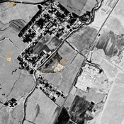
Probable archaeological site. Mound visible on Corona imagery (1970), since destroyed by modern cultivation.

Unidentified site (3 km)

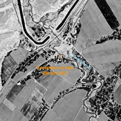
Probable archaeological site. Mound visible on Corona imagery (1970), since destroyed by modern cultivation.


Dit object is toegevoegd door Julien De Chocqueuse op 2024-03-24. Laatst bewerkt door Julien De Chocqueuse op 2024-07-21. Persistent URI: http://vici.org/vici/96046 . Download als RDF/XML, KML.
Annotatie beschikbaar onder de Creative Commons Naamsvermelding-GelijkDelen 3.0 Unported-licentie. Metadata beschikbaar onder de Creative Commons Publiek Domein Verklaring, tenzij expliciet anders aangegeven.
Lijntracé bij dit punt door Julien De Chocqueuse.

Vici.org partners:

Livius.org: articles on ancient history   Rijksmuseum van Oudheden