
Es gibt noch keine deutschsprachige Anmerkungen. Präsentiert wirden Anmerkungen auf English.

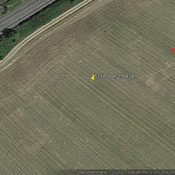
Lage:
- Vereinigtes Königreich, Chepstow
- geo:51.631577,-2.671266
- Lage ± 0-5 m.
Period or year:
- 7x / unknown
Klassification:
- Römerstraße
- Unsichtbar
Identifiers:
- vici:place=95217
Anmerkungen
In der Nähe
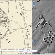
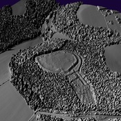
Bulwarks Camp
Iron Age Settlement
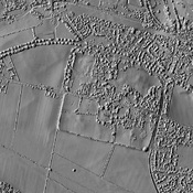
offa's dyke and a roman road (1 km)
offa's dyke and a roman road
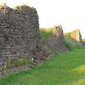
Chepstow Castle (1 km)
Chepstow Castle in Wales is the oldest surviving post-Roman stone fort in Britain.