
Es gibt noch keine deutschsprachige Anmerkungen. Präsentiert wirden Anmerkungen auf English.

Umgebung:
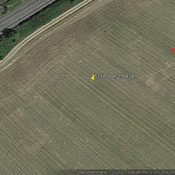

Lage:
- Vereinigtes Königreich, Woodcroft
- geo:51.659725,-2.671909
- Lage ± 0-5 m.
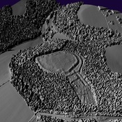
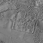
Period or year:
- -4xx / unknown
Klassification:
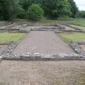
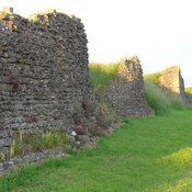
- Bäuerliche Siedlung
- Sichtbar
Identifiers:
- vici:place=95220
Anmerkungen
In der Nähe
Offas Dycke (1 km)
Offas Dycke
Roman Rd (1 km)
Roman Rd
Possible Roman Bridge (1 km)
Possible Roman Bridge