
No annotations have been added. Please add information about this place.

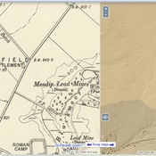
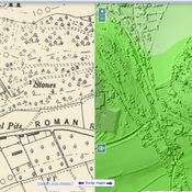
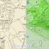
Location:
- United Kingdom of Great Britain and Northern Ireland, Tynings Farm
- geo:51.308525,-2.772439
- Location ± 0-5 m.
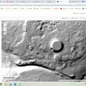
Period or year:
- 7x / unknown
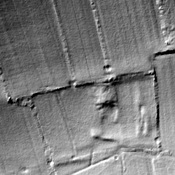
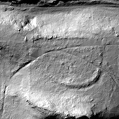
Class:
- Road
- visible
Identifiers:
- vici:place=95014
Annotations
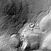
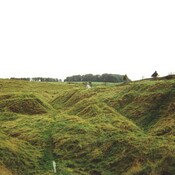
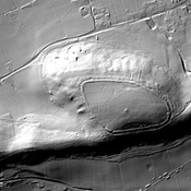
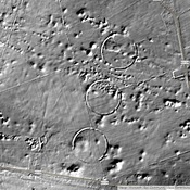
Nearby
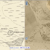
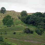
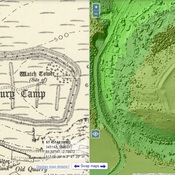
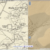
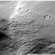
Tynings Farm
Roman camp
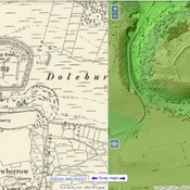
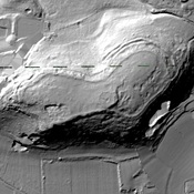
Dolebury Warren (2 km)
Watchtower
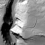
Dolebury Camp (2 km)
Dolebury Warren - Iron Age fort