
See:

Surroundings:
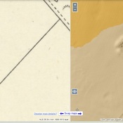
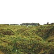
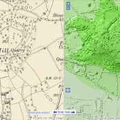
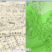
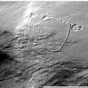
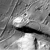

Location:
- United Kingdom of Great Britain and Northern Ireland, Burrington
- geo:51.325623,-2.750444
- Location ± 0-5 m.
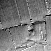
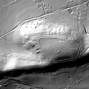
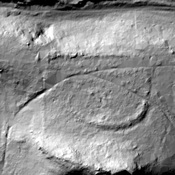
Period or year:
- -1xxx? / unknown
Class:
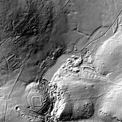
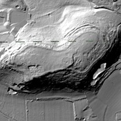
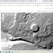
- Castle
- visible
Identifiers:
- vici:place=35786
- wikidata:entity=Q5000444
Annotations
Nearby
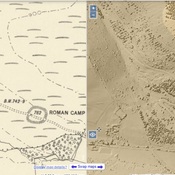
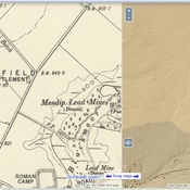
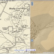
Tynings Farm (2 km)
Roman camp
Roman Rd (2 km)
Roman Rd
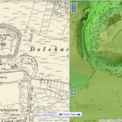
Dolebury Warren (2 km)
Watchtower