
Er zijn nog geen Nederlandstalige annotaties. Hier volgen annotaties in het Engels.

Omgeving:

Locatie:
- Verenigd Koninkrijk, Burrington
- geo:51.325623,-2.750444
- Locatie precies
Period or year:
- -1xxx? / unknown
Classificatie:
- Fort
- Zichtbaar
Identifiers:
- vici:place=35786
- wikidata:entity=Q5000444
Annotaties
In de buurt
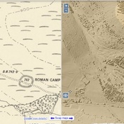
Roman camp (2 km)
Roman camp
Roman Rd (2 km)
Roman Rd
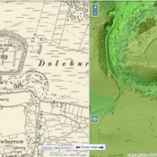
Dolebury Warren (2 km)
Watchtower