
Il n'y a pas une annotation en français. Présenté est une annotation en Anglais.

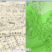
Localisation:
- Royaume-Uni, Cheddar
- geo:51.272488,-2.77957
- Précision ± 0-5 m.
Period or year:
- 1xx? / unknown
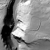
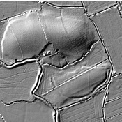
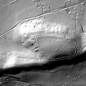
Classification:
- Habitat rural
- Invisible
Identificateurs:
- vici:place=92011
Annotations
À proximité
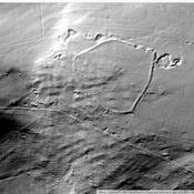
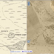
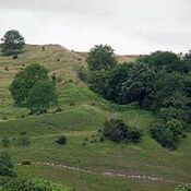
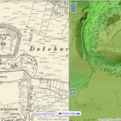
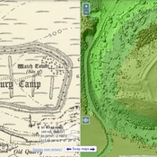
Westbury Camp (3 km)
Westbury Camp, slight univallate hillfort, 750m north of Stokewood Cottage.
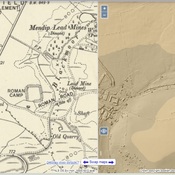
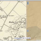
Shelve Hill (3 km)
Lead, Silver mine.
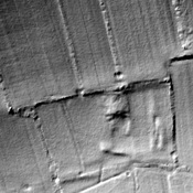
Stoke Moor (3 km)
Romano-British settlement on Stoke Moor.