
Es gibt noch keine deutschsprachige Anmerkungen. Präsentiert wirden Anmerkungen auf English.

Lage:
- Vereinigtes Königreich, Cheddar
- geo:51.272488,-2.77957
- Lage ± 0-5 m.
Period or year:
- 1xx? / unknown
Klassification:
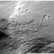
- Bäuerliche Siedlung
- Unsichtbar
Identifiers:
- vici:place=92011
Anmerkungen
In der Nähe
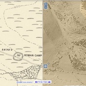
Westbury Camp (3 km)
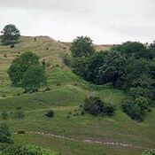
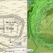
Westbury Camp, slight univallate hillfort, 750m north of Stokewood Cottage.
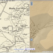
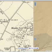
Shelve Hill (3 km)
Lead, Silver mine.
Stoke Moor (3 km)
Romano-British settlement on Stoke Moor.