
Vici.org
Keine Bilder von diesem Ort. Bitte, Bilder hochladen.

Umgebung:

Ponte da ValadaCaminho da ponte da Valada-SeiçaOlaia bridgeTomareisCastelo do CarrapatosoCastelo do CarrapatosoCastelo do CarrapatosoCastelo do CarrapatosoCastelo do CarrapatosoCastelo do CarrapatosoPaved roadWalled path towards the riverWall path in direction to the river NabãoLoom weightTombstones found in Rio de Couros old church sitePonte de Vale da FigueiraPonte de Vale FigueiraPonte de Vale da FigueiraPonte de São SimãoruinsruinsruinsruinsCarregueiros bridgePonte dos NamoradosPonte dos NamoradoscASTELO OUREMPonte do AlgarãoCalçada NS da Conceição (paved road)Mulher Morta medieval paved road

Lage:

  • Portugal, Chão de Maçãs
  • geo:39.674442,-8.502195
  • Lage ± 0-5 m.

Period or year:

  • 3xx? / unknown

Klassification:

  • Brücke
  • Unsichtbar

Identifiers:

  • vici:place=87911

Anmerkungen

Es gibt noch keine deutschsprachige Anmerkungen. Präsentiert wirden Anmerkungen auf English.

The toponymy Portus of Auren or Portum Ourens is mentioned as a term for Leiria, in the Letter of Foral passed to this village in 1142. This toponymy also appears in the document of donation of Castelo de Cera to the Knights Templar (1159) and corresponds to the frontier of the two territories.

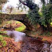
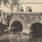
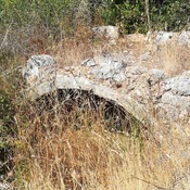
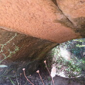
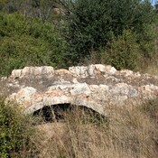
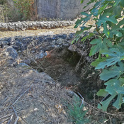
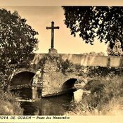
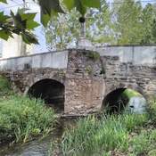
Tha passage of the Ribeira da Sabacheira was in many places a ford passage, but it this place there was an old stone bridge, destroyed by a new one in the XIX century.


In der Nähe

Portus Aurens

Portus Aurens (river ford)

Padrão (Seiça) (2 km)

Roman coins, graves

Fungalvaz - Chão de Maçãs (2 km)

Probable path between Fungalvaz and Chão de Maçãs, along the "Furadouro" pass of the limestone massif