

Il n'y a pas d'annotations. Ajouter une note.

Localisation:
- Portugal, Pechins
- geo:39.80135,-8.466146
- Précision ± 0-5 m.
Period or year:
- 3xx / unknown
Classification:
- Voie romaine
- Invisible
Identificateurs:
- vici:place=87440
Annotations
À proximité
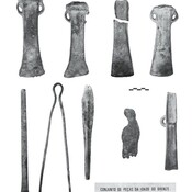
Bronze tools (2 km)
Deposit from the Late Bronze Age and foundations of a fortress?
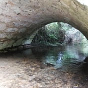
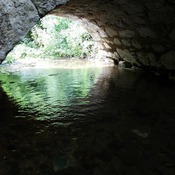
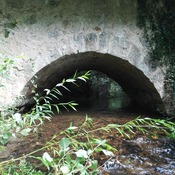
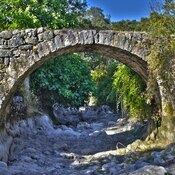
Figueirinha's bridge (4 km)
Figuerinha's bridge over Ribeira do Fárrio stream
Porta's Roman mines (6 km)
Roman mines in manmade cave, partially flooded (about 500sqmt)