
Il n'y a pas d'annotations. Ajouter une note.

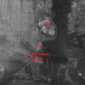
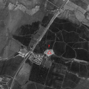
Localisation:
- Iran, Ḩājjī
- geo:32.355652,48.269497
- Précision ± 0-5 m.
Classification:
- Observation
- Visible
Identificateurs:
- vici:place=86305
Annotations
À proximité
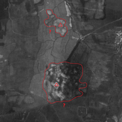
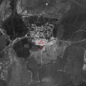
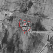
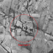
Unidentified site
Probable settlement. Located with satellite imagery.
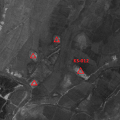
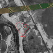
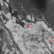
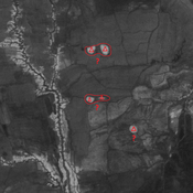
Anonymous settlement (KS-12)
Possible Susa III settlement (2 ha).
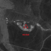
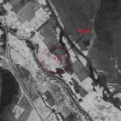
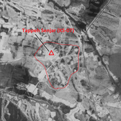
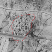
Unidentified site
Probable settlement. Single-mound site, destroyed by modern agriculture. But visible on CORONA imagery.