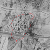
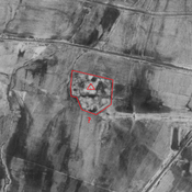
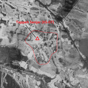
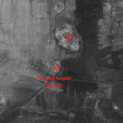
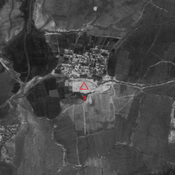
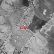
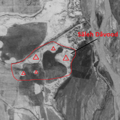
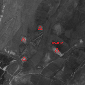
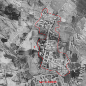
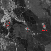
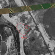
Vici.org

Les environs:

Iran_Susiana_Unidentified (Dezfūl 2) - CORONA imageryIran_Susiana_Unidentified (Dezfūl) - CORONA imageryTappeh Senjar (KS-07) - CORONA ImageryIran_Susiana_Tappeh Saiyeh (KS-08) - CORONA imageryIran_Susiana_Unidentified (Chīchālī Do) - CORONA imageryIran_Susiana_Unidentified (Gonjeh) - CORONA imageryIran_Susiana_Anonymous (KS-010) - CORONA imageryIran_Susiana_Unidentified (Seyyed Karam) - CORONA imageryIran_Susiana_Unidentified (Şīḩeh) - CORONA imageryIran_Susiana_Anonymous (KS-11) - CORONA imageryAnonymous site (KS-238) - CORONA ImagerySāleh Dāvood - CORONA imageryIran_Susiana_Anonymous (KS-012) - CORONA imageryIran_Susiana_Ivan-e-Karkeh northern suburb - CORONA imageryIran_Susiana_Unidentified (Jarīyeh Seyyed Karm) - CORONA imagery

Localisation:

  • Iran, Dezfūl
  • geo:32.389942,48.199116
  • Précision ± 0-5 m.

Period or year:

  • -60xx~ / 4xx

Classification:

  • Habitat rural
  • Invisible

Identificateurs:

  • vici:place=86478

Annotations

HOLE F. (1974), Tepe Tula'i, an early campsite in Khuzistan, Iran, Paléorient (persee.fr/doc/paleo_0153-9345_1974_num_2_2_1053) 

WENKE Robert J. (1975), Imperial investments and agricultural developments in Parthian and Sassanian Khuzestan, 150 B. C. to A. D. 640 (https://www.academia.edu/35337300/Imperial_Investments_and_Agricultural_Developments_in_Parthian_and_Sassanian_Khuzestan_Iran_)


À proximité

Anonymous settlement (KS-371)

Achaemenid settlement. Destroyed by agriculture, but visible on CORONA imagery.

Anonymous settlement (KS-370)

Sasanian settlement. Destroyed by agriculture, but visible on CORONA imagery.

Anonymous site (KS-361) (1 km)

Middle Parthian to early Sasanian settlement. Destroyed by agriculture, but visible on CORONA imagery.