
Es gibt noch keine Anmerkungen. Bitte, Informationen einfügen.
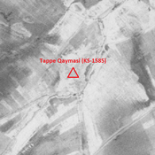
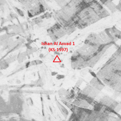
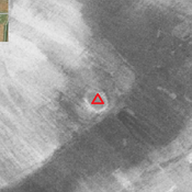
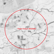
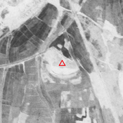
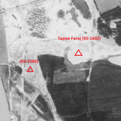
 - CORONA imagery 1968")
Umgebung:


Lage:
- Iran, Razūqī
- geo:31.852427,48.980656
- Lage ± 0-5 m.
Klassification:
- Beobachtung
- Sichtbar
Identifiers:
- vici:place=85927
Anmerkungen
In der Nähe
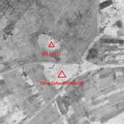
Anonymous site (KS-1613)
Early and middle Islamic site (2,24 ha).
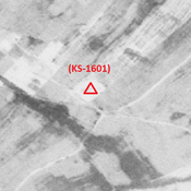
Unidentified site
Probable settlement. Destroyed by agriculture, but visible on CORONA imagery.
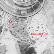
Tejiejeh (KS-1614) (1 km)
Old Elamite site (1,34 ha).