
Es gibt noch keine Anmerkungen. Bitte, Informationen einfügen.
")
Umgebung:
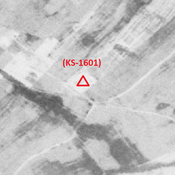


Lage:
- Iran, Bunneh Farwaz Khān
- geo:31.898958,48.929138
- Lage ± 0-5 m.
Klassification:
- Beobachtung
- Sichtbar
Identifiers:
- vici:place=85926
Anmerkungen
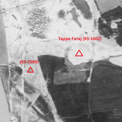
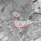
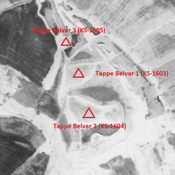
In der Nähe
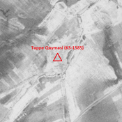
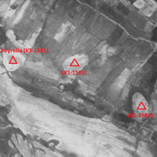
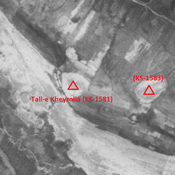
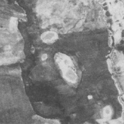
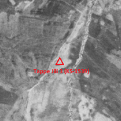
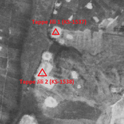
Tappe Qaymasi (KS-1585)
Early and middle Islamic settlement (2,78 ha). Almost completely destroyed by recent human activities.
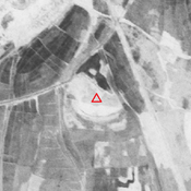
Anonymous settlement (KS-1599) (3 km)
Middle Islamic settlement (4,98 ha).
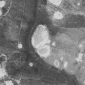
Ishan Al Faraj 1 (KS-1595) (3 km)
Old and Middle Elamite site (2,95 ha).