
MOGHADDAM Abbas & MIRI Negin (2003), Archaeological Research in the Mianab Plain of Lowland Susiana, South-Western Iran, Journal of the British Institute of Persian Studies (https://www.researchgate.net/publication/262117290_Archaeological_Research_in_the_Mianab_Plain_of_Lowland_Susiana_South-Western_Iran)

Location:
- Iran (Islamic Republic of), Zohūābād
- geo:31.78211,48.916927
- Location ± 0-5 m.
Period or year:
- -46xx / -1xx
Class:
- Rural settlement
- visible
Identifiers:
- vici:place=85894
Annotations
Nearby
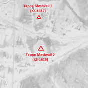
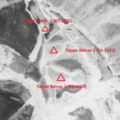
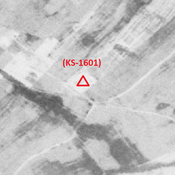
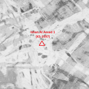
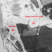
Tappe Meshvall 2 (KS-1615)
Achaemenid, Parthian, Sasanian and early medieval Islamic city-size settlement (10,47 ha).
Tappe Gabeybeh 1 (KS-1551) (1 km)
Parthian and Sasanian settlement (2,73 ha).
Unidentified site (1 km)
Probable site. badly damaged by agriculture, but better visible on CORONA imagery.