Vici.org

Surroundings:

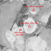
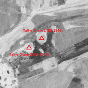
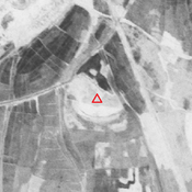
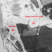
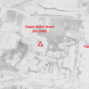
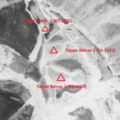
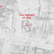
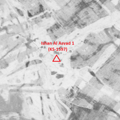
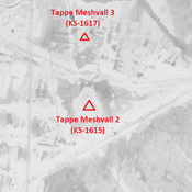
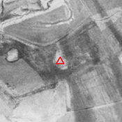
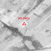
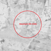
Tall-e Diban 1 (KS-1548) - CORONA imagery 1968Tall-e Cham 1 (KS-1546) - CORONA imagery 1968Unidentified site (Arab Ḩasan 1) - CORONA imagery 1968Tappe Faraj (KS-1602) - CORONA imagery 1968Tappe Abd-e Seyed (KS-1560) - CORONA imageryTappe Belvar 2 (KS-1604) - CORONA imagery 1968Tappe Meshvall 1 (KS-1559) - CORONA imagery 1968Ishan Al Asvad 1 (KS-1597) - CORONA imageryTappe Meshvall 2 (KS-1615) - CORONA imagery 1968Unidentified site (Gobeyr 1) - CORONA imagery 1Anonymous settlement (KS-1601) - CORONA imagery 1968Basetiyeh (KS-1566) - CORONA imagery 1968Unidentified site (Rūstā-ye Shahīd Ḩarāmsheh 1) - CORONA imagery 1968

Location:

  • Iran (Islamic Republic of), Magarnāt-e Do
  • geo:31.817329,48.872185
  • Location ± 0-5 m.

Class:

  • Archaeological observation
  • invisible

Identifiers:

  • vici:place=85930

Annotations


Nearby

Tall-e Diban 3 (KS-1550)

Middle Islamic settlement (2,2 ha). Recently destroyed by agriculture, but visible on CORONA imagery.

Tall-e Diban 1 (KS-1548)

Parthian, Sasanian and early medieval Islamic settlement (10,02 ha). Western part recently destroyed by agriculture.

Tall-e Diban 2 (KS-1549)

Achaemenid, Parthian, Sasanian and early medieval Islamic settlement (3,11 ha). Recently destroyed by agriculture.


This object was added by Julien De Chocqueuse on 2023-04-18. Last update by Julien De Chocqueuse on 2023-04-18. Persistent URI: http://vici.org/vici/85930 . Download as RDF/XML, KML.
Annotation available using the Creative Commons Attribution-ShareAlike 3.0 Unported license. Metadata available using the Creative Commons Public Domain Dedication, unless it is explicitly stated otherwise.

Vici.org partners:

Livius.org: articles on ancient history   Rijksmuseum van Oudheden