
MOGHADDAM Abbas & MIRI Negin (2003), Archaeological Research in the Mianab Plain of Lowland Susiana, South-Western Iran, Journal of the British Institute of Persian Studies (https://www.researchgate.net/publication/262117290_Archaeological_Research_in_the_Mianab_Plain_of_Lowland_Susiana_South-Western_Iran)

Surroundings:
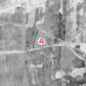

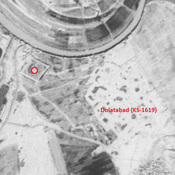
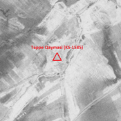
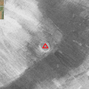
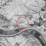
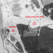

Location:
- Iran (Islamic Republic of), Ḩājjī Naşrollāh
- geo:31.870487,48.981342
- Location ± 0-5 m.
Period or year:
- 6xx / 14xx
Class:
- Vicus or canabae
- visible
Identifiers:
- vici:place=85887
Annotations
Nearby
Anonymous settlement (KS-1611)
Middle Islamic settlement (2,03 ha). Almost completely destroyed by agriculture.
Tappe Hamyan (KS-1608)
Parthian and early medieval Islamic settlement. (3,05 ha). Destroyed by agriculture.
Tall-e Deymi (KS-1609) (1 km)
Early and middle Islamic site (0,73 ha).