
Vici.org
Keine Bilder von diesem Ort. Bitte, Bilder hochladen.

Umgebung:

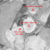
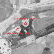
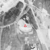
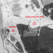
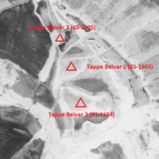
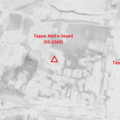
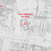
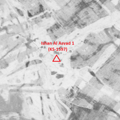
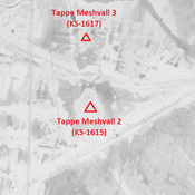
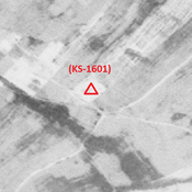
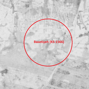
Tall-e Diban 1 (KS-1548) - CORONA imagery 1968Unidentified site (Magarnāt-e Do 1) - CORONA imagery 1968Tall-e Cham 1 (KS-1546) - CORONA imagery 1968Unidentified site (Arab Ḩasan 1) - CORONA imagery 1968Tappe Faraj (KS-1602) - CORONA imagery 1968Tappe Belvar 2 (KS-1604) - CORONA imagery 1968Tappe Abd-e Seyed (KS-1560) - CORONA imageryTappe Meshvall 1 (KS-1559) - CORONA imagery 1968Ishan Al Asvad 1 (KS-1597) - CORONA imageryTappe Meshvall 2 (KS-1615) - CORONA imagery 1968Anonymous settlement (KS-1601) - CORONA imagery 1968Unidentified site (Gobeyr 1) - CORONA imagery 1Basetiyeh (KS-1566) - CORONA imagery 1968Unidentified site (Rūstā-ye Shahīd Ḩarāmsheh 1) - CORONA imagery 1968

Lage:

  • Iran, Sheykh Ḩoseyn
  • geo:31.818657,48.875748
  • Lage ± 0-5 m.

Period or year:

  • 10xx / 14xx

Klassification:

  • Bäuerliche Siedlung
  • Unsichtbar

Identifiers:

  • vici:place=85816

Anmerkungen

MOGHADDAM Abbas & MIRI Negin (2003), Archaeological Research in the Mianab Plain of Lowland Susiana, South-Western Iran, Journal of the British Institute of Persian Studies (https://www.researchgate.net/publication/262117290_Archaeological_Research_in_the_Mianab_Plain_of_Lowland_Susiana_South-Western_Iran)


In der Nähe

Tall-e Diban 1 (KS-1548)

Parthian, Sasanian and early medieval Islamic settlement (10,02 ha).

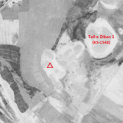
Unidentified site

Probable site. Leveled by agriculture, but visible on CORONA imagery. Part of the cluster of Tall-e Diban sites.

Tall-e Diban 2 (KS-1549)

Achaemenid, Parthian, Sasanian and early medieval Islamic settlement (3,11 ha). Recently destroyed by agriculture.