

MOGHADDAM Abbas, MIRI Negin (2007), Archaeological Surveys in the Eastern Corridor, South Western Iran (https://www.academia.edu/80744464/Archaeological_Surveys_in_the_Eastern_Corridor_South_Western_Iran)

Location:
- Iran (Islamic Republic of), Maḩāmīd
- geo:31.841536,49.039707
- Location ± 0-5 m.
Period or year:
- -46xx / -45xx
Class:
- Rural settlement
- visible
Identifiers:
- vici:place=85678
Annotations
Nearby
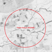
Cham Faraj E (KS1646) (1 km)
Elamite, Achamenid to medieval islamic large area of scattered sherds, probably a cluster of sites (30 ha).
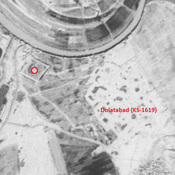
Dolatabad (KS-1619) (3 km)
Parthian, Sasanian, early and middle Islamic city-size settlement (22,98 ha).
Anonymous settlement (KS1642) (3 km)
Late Susiana I settlement (0,6 ha).