
GAUBE Heinz (1973), Die sudpersische Provinz Arragan - Kuh-Giluyeh von der arabischen Eroberung bis zur Safawidenzeit

Location:
- Iran (Islamic Republic of), Tombī
- geo:30.805515,50.682938
- Location ± 0-5 m.
Period or year:
- 6xx? / 1900~
Class:
- Rural settlement
- visible
Identifiers:
- vici:place=85345
Annotations
Nearby
Unidentified site (1 km)
Probable archaeological site. Located with satellite imagery.
Anonymous site (G.6-09.III) (1 km)
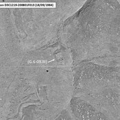
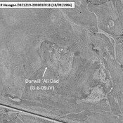
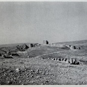
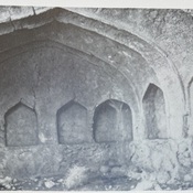
Late Islamic probable ruined caravanserail. Surveyd by Gaube (1968). Clearly visible on KH9-Hexagon imagery (1984). Since badly damaged by agriculture.
Unidentified site (Tappe Gol-sefe?) (2 km)
Probable archaeological site.Located with satellite imagery. Given as Tappe Gol-sefe on Google Maps.