
GAUBE Heinz (1973), Die sudpersische Provinz Arragan - Kuh-Giluyeh von der arabischen Eroberung bis zur Safawidenzeit
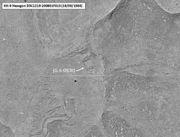
Surroundings:
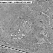
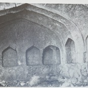
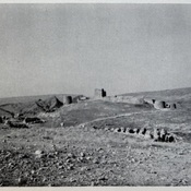

Location:
- Iran (Islamic Republic of), Līr Tork
- geo:30.803169,50.664139
- Location ± 0-5 m.
Period or year:
- 13xx~ / unknown
Class:
- Tavern or relay
- visible
Identifiers:
- vici:place=104758
Annotations
Nearby
Unidentified site (1 km)
Probable archaeological site. Located with satellite imagery.
Tembī (G.6-10.I) (1 km)
Undated ruined foundations on top of a natural hill, forming the center of modern Tembī village. Built over in the XVIIIth c, then abandonned. Surveyed by Gaube (1968).
Unidentified site (2 km)
Probable archaeological site. Better visible on KH9-Hexagon imagery.