
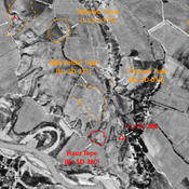
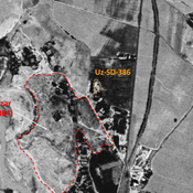
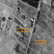
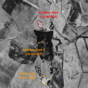
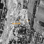
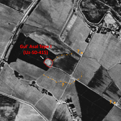
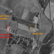
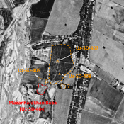
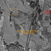
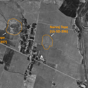
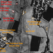
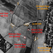
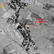
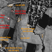
STRIDE, S. (2004), La Géographie archéologique de la province du Surkhan Darya (Bactriane du Nord, Ouzbekistan du Sud). Unpublished dissertation at the Université panthéon-Sorbonne (Paris), 5 vols. ( https://sirisacademic.academia.edu/SebastianStride?swp=tc-au-44230952 )
Localisation:
- Ouzbékistan, Denov
- geo:38.25317,67.911858
- Précision ± 0-5 m.
Period or year:
- 2xx? / 12xx
Classification:
- Habitat rural
- Visible
Identificateurs:
- vici:place=81919
Annotations
Il n'y a pas une annotation en français. Présenté est une annotation en Anglais.
STRIDE, S. (2004), La Géographie archéologique de la province du Surkhan Darya (Bactriane du Nord, Ouzbekistan du Sud). Unpublished dissertation at the Université panthéon-Sorbonne (Paris), 5 vols. ( https://sirisacademic.academia.edu/SebastianStride?swp=tc-au-44230952 )
À proximité
Kattabang Kurgan (Uz-SD-388)
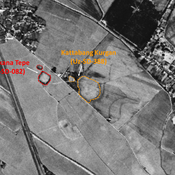
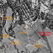
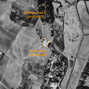
Kushan and pre-Mongol Islamic settlement (0,5 ha). Low circular mound, visible on Corona imagery (1970), destroyed by modern cultivation. Studied by MAFOuz.
Kurash Tepe (Uz-SD-037)
High Medieval and post-Mongol (?) settlement (0,1 ha). Small square tepe, destroyed by modern construction. Studied by Arshavskaja & Rtveladze, and MAFOUD.
Anonymous settlement (Uz-SD-036) (1 km)
High Medieval settlement (1 ha). Square tepe, partially destroyed in 1970, nowdays leveled and built upon by modern housing. Studied by MAFOUD.


