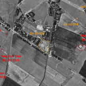
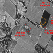
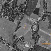
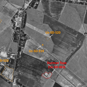
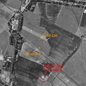
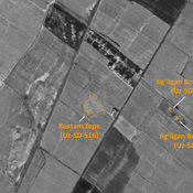
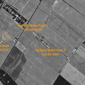
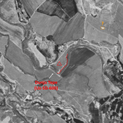
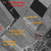
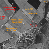
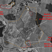
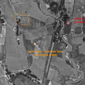
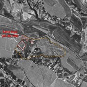
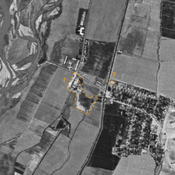
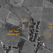
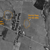
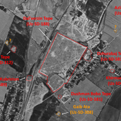
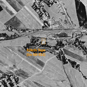
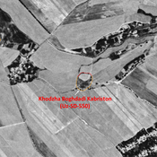
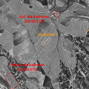
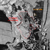
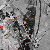
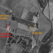
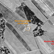
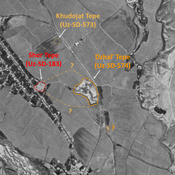
STRIDE, S. (2004), La Géographie archéologique de la province du Surkhan Darya (Bactriane du Nord, Ouzbekistan du Sud). Unpublished dissertation at the Université panthéon-Sorbonne (Paris), 5 vols. ( https://sirisacademic.academia.edu/SebastianStride?swp=tc-au-44230952 )
Lage:
- Usbekistan, Ijtimoyyot
- geo:38.15863,67.887848
- Lage ± 0-5 m.
Period or year:
- 7xx / 8xx
Klassification:
- Gebäude
- Sichtbar
Identifiers:
- vici:place=81916
Anmerkungen
Es gibt noch keine deutschsprachige Anmerkungen. Präsentiert wirden Anmerkungen auf English.
STRIDE, S. (2004), La Géographie archéologique de la province du Surkhan Darya (Bactriane du Nord, Ouzbekistan du Sud). Unpublished dissertation at the Université panthéon-Sorbonne (Paris), 5 vols. ( https://sirisacademic.academia.edu/SebastianStride?swp=tc-au-44230952 )
In der Nähe
Shait Tepe (Uz-SD-043)
High Medieval settlement (0,4 ha). Small tepe, largely destroyed by cultivation. Isolated tomb at its center remaining todat. Studied by Arshavskaja and Rtveladze. Uncertain identification.
Shait Tepe (Uz-SD-511)
Medieval Islamic site (0,1 ha). Small site, studied by MAFOuz.
Unidentified site
Probable archaeological site. Oval mound, with a northern lower town, already leveled by 1970 and visible on Corona imagery. Since entirely destroyed by urbanisation and modern cultivation.

