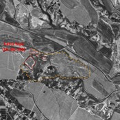
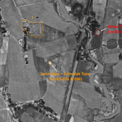
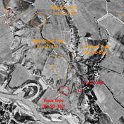
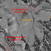
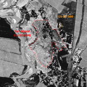
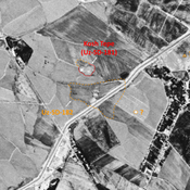
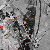
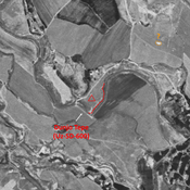
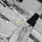
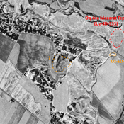
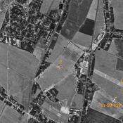
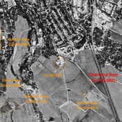
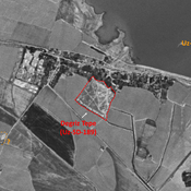
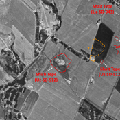
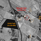
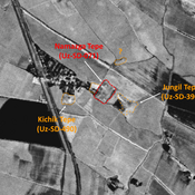
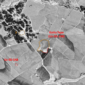
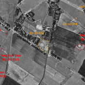
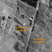
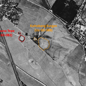
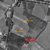
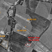
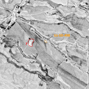
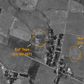
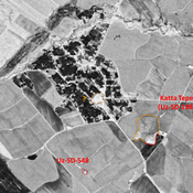
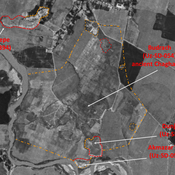
STRIDE, S. (2004), La Géographie archéologique de la province du Surkhan Darya (Bactriane du Nord, Ouzbekistan du Sud). Unpublished dissertation at the Université panthéon-Sorbonne (Paris), 5 vols. ( https://sirisacademic.academia.edu/SebastianStride?swp=tc-au-44230952 )
Lage:
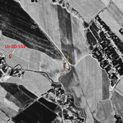
- Usbekistan, Khazarbag
- geo:38.214413,67.83757
- Lage ± 0-5 m.
Period or year:
- 10xx? / 17xx
Klassification:
- Bäuerliche Siedlung
- Sichtbar
Identifiers:
- vici:place=81920
Anmerkungen
STRIDE, S. (2004), La Géographie archéologique de la province du Surkhan Darya (Bactriane du Nord, Ouzbekistan du Sud). Unpublished dissertation at the Université panthéon-Sorbonne (Paris), 5 vols. ( https://sirisacademic.academia.edu/SebastianStride?swp=tc-au-44230952 )
In der Nähe
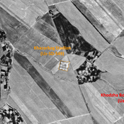
Khazarbag Stadion (Uz-SD-549) (1 km)
Early Medieval and pre-Mongol fortified settlement (1?5 ha). Square site, apparent in 1951 on maps, since destroyed by a the construction of a modern stadium. Some remains of walls. Studied by MAFOuz.
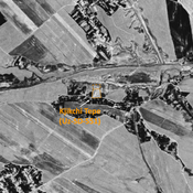
Kjikchi Tepe (Uz-SD-551) (2 km)
Early Medieval settlement (0,25 ha). Mosly square mound, with a possible extension to the north, visible on Corona imagery (1970), since destroyed by modern urbanisation. Surveyed by MAFOuz.
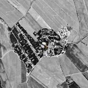
Unidentified site (2 km)
Probable archaeological site. Cluster of mounds, visible on Corona imagery (1970), since destroyed by urbanisation.


