
Il n'y a pas d'annotations. Ajouter une note.

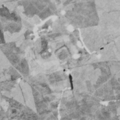
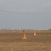
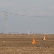
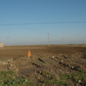
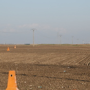
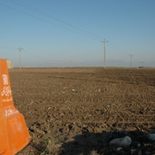
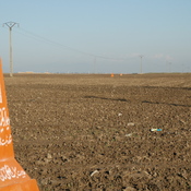
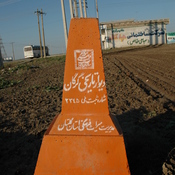
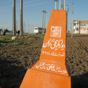
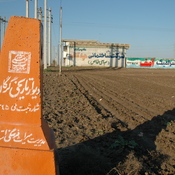
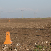
Localisation:
- Iran, Moḩammad-e Fārābī
- geo:37.247074,55.255188
- Précision ± 0-5 m.
Classification:
- Observation
- Visible
Identificateurs:
- vici:place=76413
Annotations
À proximité
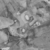
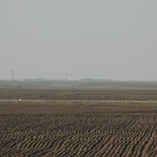
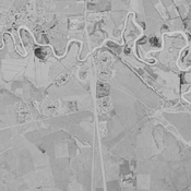
Unknown fort (1 km)
Unknown fort
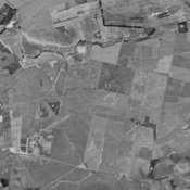
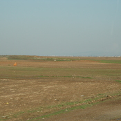
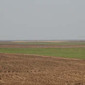
Unidentified site (1 km)
Probable settlement. Located with satellite imagery.
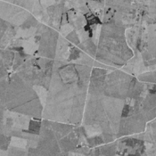
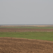
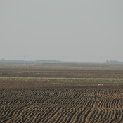
Mazar Eslamabad (NTS-189) (1 km)
Iron Age III & IV, parthian and medieval islamic settlement. Complex of low mounds almost completely destroyed by agriculture, but still visible on CORONA imagery (1969).