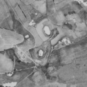
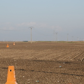
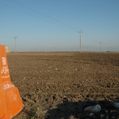
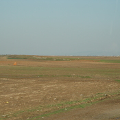
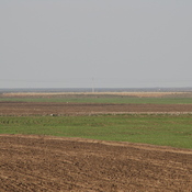
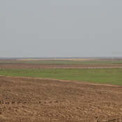
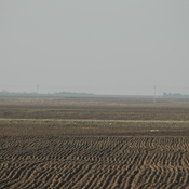
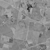
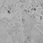
Vici.org

Les environs:

Haji Morad Tappeh (KH-42), Gorgan plain, IranWall of AlexanderWall of AlexanderWall of AlexanderWall of AlexanderWall of AlexanderWall of AlexanderWall of AlexanderWall of AlexanderWall of AlexanderWall of AlexanderWall of AlexanderWall of AlexanderWall of AlexanderWall of AlexanderWall of AlexanderWall of AlexanderWall of AlexanderMil-e GonbadFarahi Tappeh (NTS-51), Gorgan plain, IranQal‘eh-ye Pol Gonbad (GWS-37), Gorgan plain, IranHaji Balkan Narges Tappeh (KH-39), Gorgan plain, Iran

Localisation:

  • Iran, Moḩammad-e Fārābī
  • geo:37.261902,55.234123
  • Précision ± 0-5 m.

Period or year:

  • 4xx / unknown

Classification:

  • Camp fortifié
  • Invisible

Identificateurs:

  • vici:place=74749

Annotations

Il n'y a pas une annotation en français. Présenté est une annotation en Anglais.

WILKINSON Tony J., REKAVANDI Hamid Omrani, HOPPER Kristen, PRIESTMAN Seth, ROUSTAEI Kourosh & GALIATSATOS Nikolaos (2013), The Landscapes of the Gorgan Wall, in Persia's Imperial Power in Late Antiquity. The Great Wall of Gorgan and frontier landscapes of Sasanian Iran. British Institute of Persian Studies Archaeological Monograph Series II, Oxbow: Oxford, 24-132 (https://www.academia.edu/2642021/Wilkinson_Rekavandi_Hopper_Priestman_and_Roustaei_2013_The_Landscapes_of_the_Gorgan_Wall)

WILKINSON Tony J., REKAVANDI Hamid Omrani, HOPPER Kristen, PRIESTMAN Seth, ROUSTAEI Kourosh & GALIATSATOS Nikolaos (2013), The Landscapes of the Gorgan Wall, in Persia's Imperial Power in Late Antiquity. The Great Wall of Gorgan and frontier landscapes of Sasanian Iran. British Institute of Persian Studies Archaeological Monograph Series II, Oxbow: Oxford, 24-132 (https://www.academia.edu/2642021/Wilkinson_Rekavandi_Hopper_Priestman_and_Roustaei_2013_The_Landscapes_of_the_Gorgan_Wall)


À proximité

Sediq Tappeh (KH-41) (1 km)

Bronze Age, Iron Age III & IV, and medieval islamic settlement. Complex of low mounds, leveled and almost completely destroyed by agriculture, but still visible on CORONA imagery (1969).

Unidentified site (1 km)

Probable settlement. Located with satellite imagery.

Unknown fort (2 km)

Unknown fort