

Location:
- Iran (Islamic Republic of), Bāzgīr
- geo:37.255199,55.356628
- Location ± 0-5 m.
Class:
- Archaeological observation
- visible
Identifiers:
- vici:place=74915
Annotations
Nearby
Koveyt (Kuwait) Mahaleh (NTS-172) (1 km)
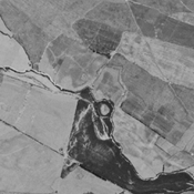
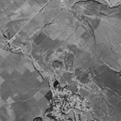
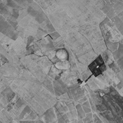
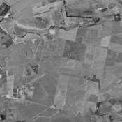
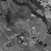
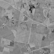
Iron III & IV, parthian and medieval islamic settlement. Almost completely destroyed by agriculture, but still visible on CORONA imagery (1969).
Esfandiar Tappeh (ARNE-232) (1 km)
Early bronze age, Iron Age III & IV, ans islamic settlement. Completely destroyed by river change and agriculture, but still visible on CORONA imagery (1969).
Qasem Abad (NTS-250) (2 km)
No dating information. Badly damaged by agriculture, but still visible on CORONA imagery (1969).