
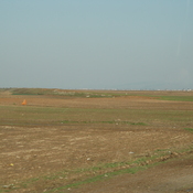
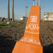
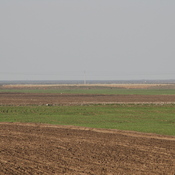
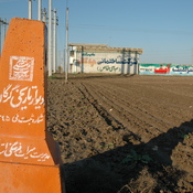
Vici.org
No images available yet. Please add images related to this place.

Surroundings:

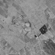
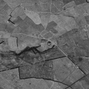
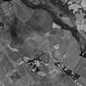
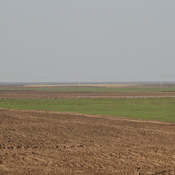
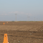
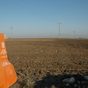
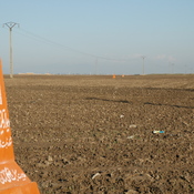
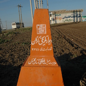
Tingar Tappeh (KH-30), Gorgan plain, IranAnonymous settlement (KH-22), Gorgan plain, IranDestroyed anonymous settlement (KH-27), Gorgan plain, IranWall of AlexanderWall of AlexanderWall of AlexanderWall of AlexanderWall of AlexanderWall of AlexanderWall of AlexanderWall of AlexanderWall of AlexanderWall of AlexanderWall of AlexanderWall of AlexanderWall of AlexanderWall of AlexanderWall of AlexanderWall of AlexanderWall of Alexander

Location:

  • Iran (Islamic Republic of), Gharāvīlar
  • geo:37.35313,55.299496
  • Location ± 0-5 m.

Period or year:

  • -7xx / 14xx

Class:

  • Rural settlement
  • visible

Identifiers:

  • vici:place=74061

Annotations

HOPPER, Kristen Alicia (2017), The Gorgan Plain of northeast Iran - a diachronic analysis of settlement and land use patterns relating to urban, rural and mobile populations on a Sasanian frontier, Durham theses, Durham University (http://etheses.dur.ac.uk/12326/)


Nearby

Talayi Tappeh (KH-128) (1 km)

Neolithic, chalcolithic, early Bronze Age, Iron III & IV, parthian, sasanian and islamic settlement.

Qabrestan Sheikh Ahmad B Tappeh (KH-20) (1 km)

Neolithic, Iron Age III & IV, achaemenid, parthian and islamic settlement. Extensive site, badly damage by dam, agriculture and urbanisation, but still visible on CORONA imagery (1969).

Gorgan Wall - Fort 8 (2 km)

Gorgan Wall - Fort 8


This object was added by Julien De Chocqueuse on 2021-12-13. Last update by Julien De Chocqueuse on 2022-02-10. Persistent URI: http://vici.org/vici/74061 . Download as RDF/XML, KML.
Annotation available using the Creative Commons Attribution-ShareAlike 3.0 Unported license. Metadata available using the Creative Commons Public Domain Dedication, unless it is explicitly stated otherwise.

Vici.org partners:

Livius.org: articles on ancient history   Rijksmuseum van Oudheden