Vici.org
Er zijn nog geen afbeeldingen met betrekking tot deze plaats toegevoegd.
Afbeelding toevoegen.

Omgeving:

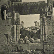
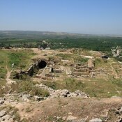
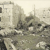
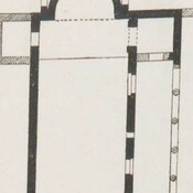
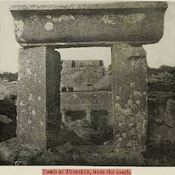
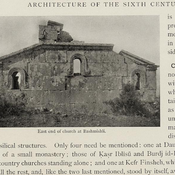
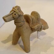
Horse with saddle, Amuq Valley, Cüdeyde TellÜçtepe III MoundBettirBettirKhirbet HasanKhirbet Tezin, West portalharencBamukka, church and baptisteryKfer. Plan of the chapel.Bamukka, GraveBashmishli

Locatie:

  • Turkije, Reyhanlı
  • geo:36.265278,36.581944
  • Locatie precies

Period or year:

  • -4000~ / unknown

Classificatie:

  • Landelijke nederzetting
  • Zichtbaar

Identifiers:

  • vici:place=57939

Annotaties

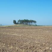
Tell Dahab was excavated in 1938 by the Oriental Institute's expedition to the Amuq. It was probably a small village associated in ancient times with nearby Tell Judaihdah

Sources:

  1. Tell Dhahab in the Amuq Valley Region of Ancient Syria (Modern Turkey)  - http://ancientneareast.tripod.com/Dhahab.html
  2. The Amuq Survey and Related Projects - Tell Dhahab - https://oi.uchicago.edu/research/projects/amuq/tell-dhahab

In de buurt

Cüdeyde Höyük - Tell Judaidah

Neolithic (6000 BC)settlement.

Tell al-Judaidah

Archeological site near Reyhanlı/Hatay, Turkey

Imma (2 km)

OmnesViae import TPPlace2378


Dit object is toegevoegd door Elżbieta op 2018-12-04. Laatst bewerkt door Elżbieta op 2018-12-04. Persistent URI: http://vici.org/vici/57939 . Download als RDF/XML, GeoJSON, KML.
Annotatie beschikbaar onder de Creative Commons Naamsvermelding-GelijkDelen 3.0 Unported-licentie. Metadata beschikbaar onder de Creative Commons Publiek Domein Verklaring, tenzij expliciet anders aangegeven.

Vici.org partners:

Livius.org: articles on ancient history   Rijksmuseum van Oudheden