Vici.org
Il n'y a pas d'images. Télécharger une image.

Les environs:

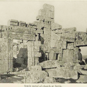
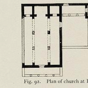
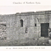
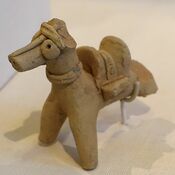
Horse with saddle, Amuq Valley, Cüdeyde TellÜçtepe III MoundBettirBettirKhirbet HasanKhirbet Tezin, West portalharencBamukka, church and baptisteryKfer. Plan of the chapel.Bamukka, GraveBashmishli

Localisation:

  • Turquie, Reyhanlı
  • geo:36.265278,36.581944
  • Précision ± 0-5 m.

Period or year:

  • -4000~ / unknown

Classification:

  • Habitat rural
  • Visible

Identificateurs:

  • vici:place=57939

Annotations

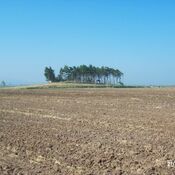
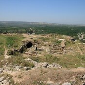
Tell Dahab was excavated in 1938 by the Oriental Institute's expedition to the Amuq. It was probably a small village associated in ancient times with nearby Tell Judaihdah

Sources:

  1. Tell Dhahab in the Amuq Valley Region of Ancient Syria (Modern Turkey)  - http://ancientneareast.tripod.com/Dhahab.html
  2. The Amuq Survey and Related Projects - Tell Dhahab - https://oi.uchicago.edu/research/projects/amuq/tell-dhahab

À proximité

Cüdeyde Höyük - Tell Judaidah

Neolithic (6000 BC)settlement.

Tell al-Judaidah

Archeological site near Reyhanlı/Hatay, Turkey

Imma (2 km)

OmnesViae import TPPlace2378