
There is no English annotation yet. Presented is an annotation in Dutch.


Surroundings:


Location:
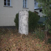
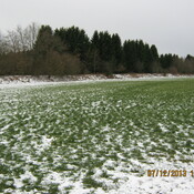
- Germany, Valley
- geo:47.885406,11.790885
- Location ± 0-5 m.
Class:
- Vicus or canabae
- visible
Identifiers:
- vici:place=45872
Annotations
Nearby
Fentbachschanze
Settlement of Iron Age
Siedlung Maxlmühle
Siedlung
Siedlung Weyarmer Mühle (1 km)
Siedlung