
Il n'y a pas une annotation en français. Présenté est une annotation en Anglais.

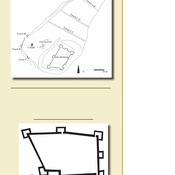
Localisation:
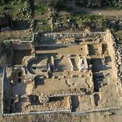
- Israël, Netiv HaLamed He
- geo:31.695528,34.995998
- Précision ± 0-5 m.
Classification:
- Ville
- Visible
Identificateurs:
- vici:place=39824
- wikidata:entity=Q2902477
Annotations
À proximité
Tel Yarmuth (2 km)
Bronze Age town. Yarmouth.
Tel Socho (2 km)
Town of Sokho in Elah Valley.
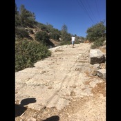
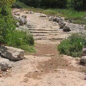
Roman period carved staircase (3 km)
Roman period carved staircase