Er zijn nog geen Nederlandstalige annotaties. Hier volgen annotaties in het Engels.
See:
- https://en.wikipedia.org/wiki/Bat%27s_Castle
- The Victoria History of the Counties of England, A History Of Somerset, Volume 2, London, 1911.


See:
See:
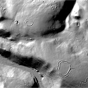
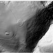
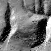
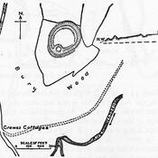
Iron Age hill fort
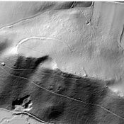
Hillfort on Grabbist Hill
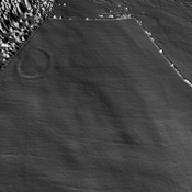
Round earthworks.