
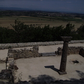
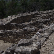
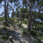
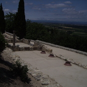
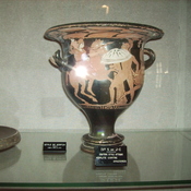
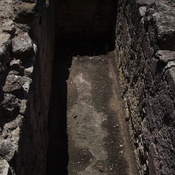
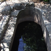
Archaological museum of the Gallic oppidum


Omgeving:
")
Locatie:
- Frankrijk, Oppidum d'Ensérune
- geo:43.310059,3.113633
- Locatie precies
Classificatie:
- Museum (hedendaags)
- Zichtbaar
Identifiers:
- vici:place=23427
- livius:museum=enserune-musee-denserune
- wikidata:entity=Q68042393
Annotaties
In de buurt
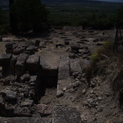
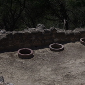
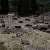
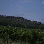
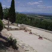
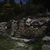
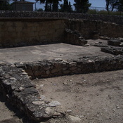
Ensérune
Ensérune
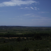
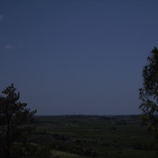
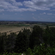
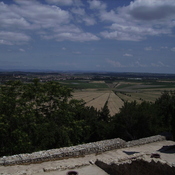
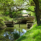
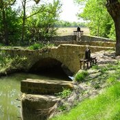
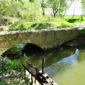
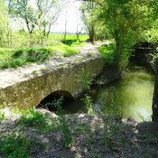
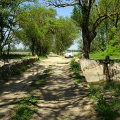
Étang de Montady (1 km)
The Étang de Montady is a drained pond or lagoon, or more accurately a former freshwater wetland. The Étang de Montady was in fact built by monks and wealthy Béziers landowners during the second half of the 13th century after a 1247 authorization by th
Nissan (2 km)
Limestone mine