Il n'y a pas une annotation en français. Présenté est une annotation en Néerlandais.
Archaological museum of the Gallic oppidum


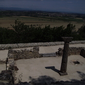
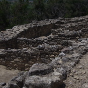
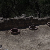
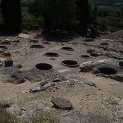
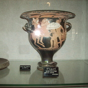

Archaological museum of the Gallic oppidum
Archaological museum of the Gallic oppidum
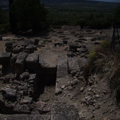
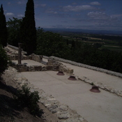
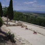
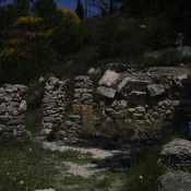
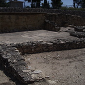
Ensérune
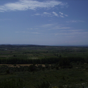
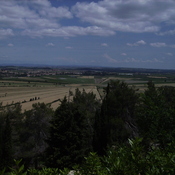
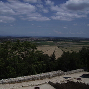
The Étang de Montady is a drained pond or lagoon, or more accurately a former freshwater wetland. The Étang de Montady was in fact built by monks and wealthy Béziers landowners during the second half of the 13th century after a 1247 authorization by th
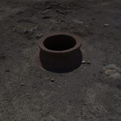
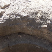
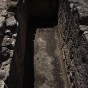
Limestone mine