

Es gibt noch keine deutschsprachige Anmerkungen. Präsentiert wirden Anmerkungen auf English.
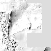
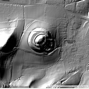
The Fosse Way was one of the major Roman Roads in Britain, running from the coast near Seaton to Lincoln (Lindum)
This segment from the coast to Ilchester is shown in Margary as Road 5A.