Vici.org

Les environs:

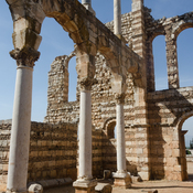
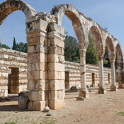
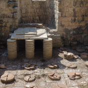
Anjar PalaceAnjar South StreetAnjar baths

Localisation:

  • Liban, Majdel Aanjar
  • geo:33.712097,35.901745
  • Précision ± 0-5 m.

Period or year:

  • 50~ / unknown

Classification:

  • Sanctuaire
  • Visible

Identificateurs:

Annotations

Il n'y a pas une annotation en français. Présenté est une annotation en Anglais.

Large rectangular Roman temple on top of the tel, built 41-48 CE, and converted into a fortress in the mediaeval period will documented by Aliquot1.  Taylor provides two photographs of the exterior in the 1960s2.

NB: There is some confusion as to the location of Gherra given on this map as being the late Roman/Ummayad fort of Anjar. Against Majdel Anjar is the probable name Chalcis for this site, but the two locations are very close, and there is confusion.

Références

  1. Julien Aliquot (2009). La Vie religieuse au Liban sous l'Empire romain: Békaa-Sud. Beyrouth : Presses de l’Ifpo, pp. 308-309, Section 70.
  2. George Taylor (1967). The Roman Temples of Lebanon. Beirut : Dar el Mashreq Publishers. Plates 78, 79.
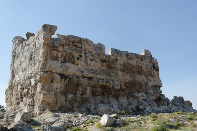
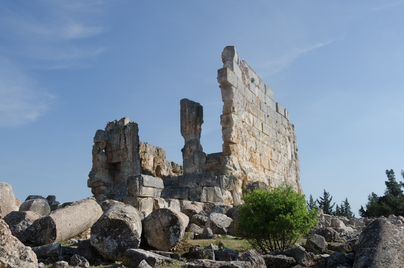
Roman temple, built 41-48 CE


À proximité

Dakoue (2 km)

Neolithic site.

Dakoue Temple (3 km)

Dakoue Temple

Palace, Gerra (3 km)

Palace, Gerra