Er zijn nog geen Nederlandstalige annotaties. Hier volgen annotaties in het Engels.
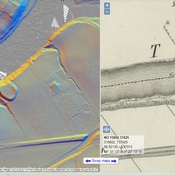
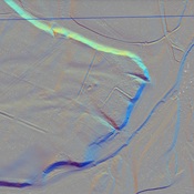
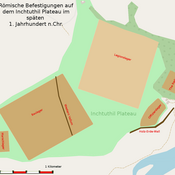
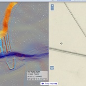
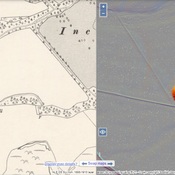
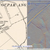
This is one of the Gask Ridge Forts established between 70 and 80 in the campaigns in Scotland, although the exact dating is uncertain. The forts ran along the line of this ridge, but extended well south of it as well, and contemporary historians describe the line as the first comprehensive Roman border fortification system.
The recognized line begins in the south at Camelon, Doune, followed by Glenbank (fortlet), Ardoch, Kaims Castle (fortlet), Strageath, Bertha, Cargill (fort and fortlet), Inchtuthil (Legionary fortress), Cardean,, and Stracathro on the north. The “Glen Blocker” forts are now included as a part of this overall line, as are the series of watch or signal towers that run along the ridge. Some of these forts are classified as both Gask Ridge and Glen Blocker.
Although these works were abandoned by C. 90, many of them show to have been rebuilt at later times. There is still a great deal to be discovered about them.
http://canmore.rcahms.gov.uk/en/site/28492/details/cargill/
http://roman-britain.co.uk/places/cargill.htm
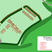
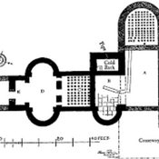
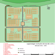
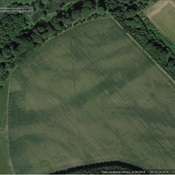