
Vici.org
Er zijn nog geen afbeeldingen met betrekking tot deze plaats toegevoegd.
Afbeelding toevoegen.

Omgeving:

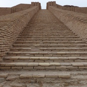
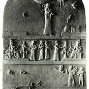
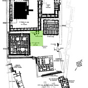
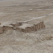
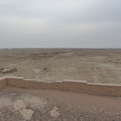
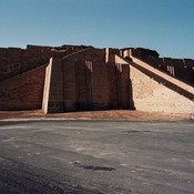
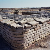
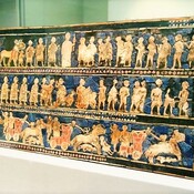
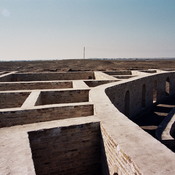
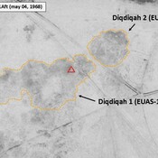
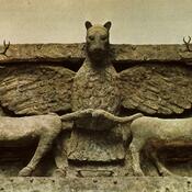
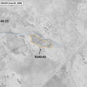
ZigguratUr-Nammu StelaUr, planUr, E-dublal-mahUr, E-giparUr, zigguratE-hursagUr, So-called IRAQ_Lower Euphrates_1968_Diqdiqah (EUAS-11 & 12)Imdugud ReliefEUAS-72_Anonymous settlement_Map site_Wright (1966), in ADAMS (1981), p. 337 (fig 26)IRAQ_Lower Euphrates_1968_AS (EUAS-02)

Locatie:

  • ,
  • geo:30.983923,46.073727
  • Locatie precies

Period or year:

  • -5700~ / -650~

Classificatie:

  • Vicus of canabae
  • Zichtbaar

Identifiers:

  • vici:place=104083

Annotaties

Er zijn nog geen Nederlandstalige annotaties. Hier volgen annotaties in het Engels.

Appendix, The Southern Margins of Sumer – Archaeological Survey of the Area of Eridu and Ur, Henry T. Wright, 1966, in ADAMS R. McC. (1981), Heartland of Cities. Surveys of Ancient Settlement and Land Use on the Central Floodplain of the Euphrates, University of Chicago Press ( https://archive.org/details/heartlandofcitie0000adam/page/n5/mode/2up )

BENATI Giacomo, LEONI Elena & MANTELLINI Simone (2017), Georeferencing Woolley’s “Royal Cemetery” and Deep Soundings at Ur (Iraq), OCNUS, 24 (https://www.researchgate.net/publication/316542993_Georeferencing_Woolley's_Royal_Cemetery_and_Deep_Soundings_at_Ur_Iraq )

Appendix, The Southern Margins of Sumer – Archaeological Survey of the Area of Eridu and Ur, Henry T. Wright, 1966, in ADAMS R. McC. (1981), Heartland of Cities. Surveys of Ancient Settlement and Land Use on the Central Floodplain of the Euphrates, University of Chicago Press ( https://archive.org/details/heartlandofcitie0000adam/page/n5/mode/2up )

BENATI Giacomo, LEONI Elena & MANTELLINI Simone (2017), Georeferencing Woolley’s “Royal Cemetery” and Deep Soundings at Ur (Iraq), OCNUS, 24 (https://www.researchgate.net/publication/316542993_Georeferencing_Woolley's_Royal_Cemetery_and_Deep_Soundings_at_Ur_Iraq )


In de buurt

Unidentified site

Probable archaeological site. Located with satellite imagery.

Unidentified site

Probable archaeological site. Located with satellite imagery.

Unidentified site (1 km)

Probable archaeological site. Located with satellite imagery.


Dit object is toegevoegd door Julien De Chocqueuse op 2026-09-18. Laatst bewerkt door Julien De Chocqueuse op 2026-09-18. Persistent URI: http://vici.org/vici/104083 . Download als RDF/XML, KML.
Annotatie beschikbaar onder de Creative Commons Naamsvermelding-GelijkDelen 3.0 Unported-licentie. Metadata beschikbaar onder de Creative Commons Publiek Domein Verklaring, tenzij expliciet anders aangegeven.

Vici.org partners:

Livius.org: articles on ancient history   Rijksmuseum van Oudheden