


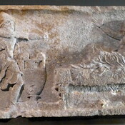

Il n'y a pas une annotation en français. Présenté est une annotation en Anglais.
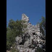
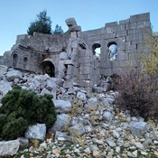
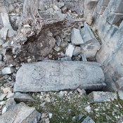
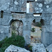
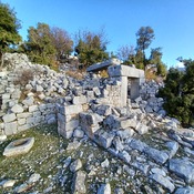
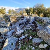
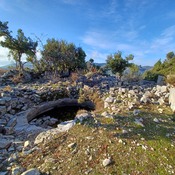
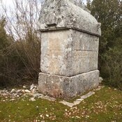
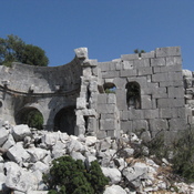
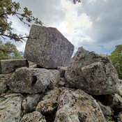
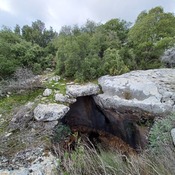
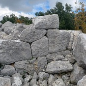
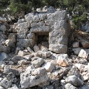
Arnabanda was a city in ancient Lycia. Today, it is located on a hill called Alacahisar, 1200 m high, approximately 4 km northwest of Belören village in Antalya Province.
See:
- Richard J. A. Talbert (Editor), Barrington atlas of the Greek and Roman world, . Princeton University Press. 2000