Vici.org

Surroundings:

Römerstraße BuchenhainInfotafel Isarquerung BuchenhainGedenkstein BuchenhainGedenkstein Buchenhain InschriftInfobild zur Römerstraße im nahen Walderlebniszentrum GrünwaldInfotext zur Römerstraße im nahen Walderlebniszentrum GrünwaldGedenkstein Römerstraße Forstenrieder ParkRadwegInfotafel Römerstraße Forstenrieder ParkAbstieg ins GleißentalAufsieg aus dem GleißentalKeltenschanze Deisenhofen WestViereckschanze OberbibergAumühleKeltenschanze Holzhausen NordInfotafel Keltenschanze Holzhausen SüdCeltic earthworkInfotafelErdwallIdealrekonstuktionViereckschanze BuchendorfPlatz der Villa Rustica IckingDeiningInfotafel Römerstraße BuchendorfInfotafel Keltenschanze BuchendorfOrtseingang Gauting von Buchendorf kommendKeltenhaus TaufkirchenKeltenhaus Taufkirchen 2Tonkrug und Glas HarlachingHochleite 11

Location:

  • Germany, Baierbrunn
  • geo:48.02285,11.501634
  • Location ± 5-25 m.

Class:

  • Castle
  • visible

Identifiers:

Annotations


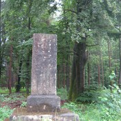
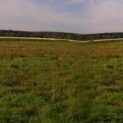
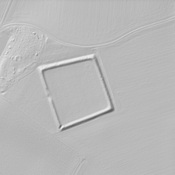
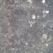
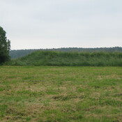
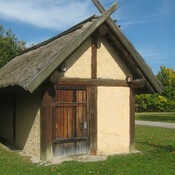
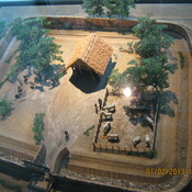
Typ/Type: Militär - Kastell - Straßenkastell / Military - Fort


Provinz/Province: Raetia


Adresse/Address: 82031 Grünwald, Deutschland


errichtet/built: ?

Untergang/Decline: ?
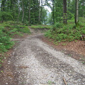
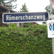
 

Siehe/See Further:


Nearby

Isarbrücke

Isarbrücke

Römerstraße Buchenhain

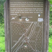
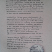
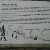
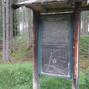
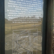
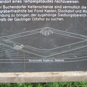
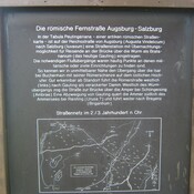
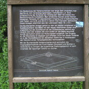
nfotafel "Verlauf der Römerstraße durch die Isarschlucht"


This object was added by Andreas Hillebrecht on 2012-10-15. Last update by Ludwinski on 2023-12-09. Persistent URI: http://vici.org/vici/10037 . Download as RDF/XML, GeoJSON, KML.
Annotation available using the Creative Commons Attribution-ShareAlike 3.0 Unported license. Metadata available using the Creative Commons Public Domain Dedication, unless it is explicitly stated otherwise.

Vici.org partners:

Livius.org: articles on ancient history   Rijksmuseum van Oudheden