
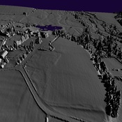
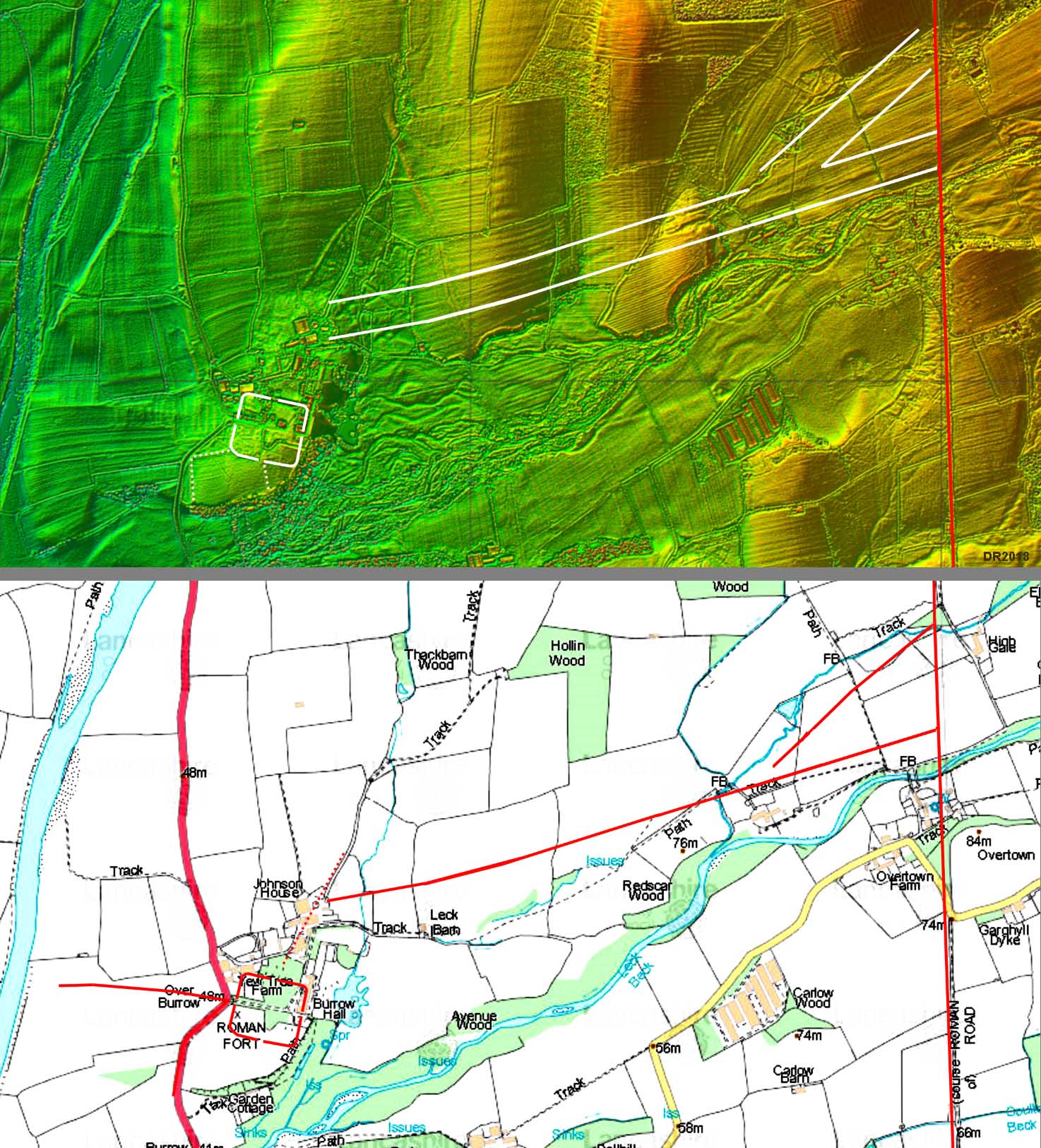
http://www.romanroads.org/gazetteer/roman2_files/burrow-link-map.jpg

Location:
- United Kingdom of Great Britain and Northern Ireland, Nether Burrow
- geo:54.179676,-2.585747
- Location ± 0-5 m.
Period or year:
- 150 / unknown
Class:
- Road
- visible
Identifiers:
- vici:place=57347
Annotations
Nearby
Galacum Fort
Galacum Fort
Galacum
OmnesViae import OVPlace455
Bindloss Farm (2 km)
Prehistoric, Romano-British, medieval and early post-medieval settlements, field systems and a deer park at High Park, east of Bindloss Farm.