
Il n'y a pas une annotation en français. Présenté est une annotation en Anglais.

Localisation:
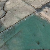
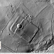
- Royaume-Uni, Trawsfynydd
- geo:52.898029,-3.910725
- Précision ± 0-5 m.
Period or year:
- 1xx? / unknown
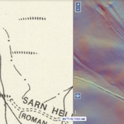
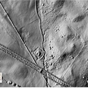
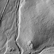
Classification:
- Voie romaine
- Invisible
Identificateurs:
- vici:place=98401
Annotations
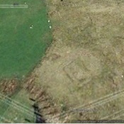
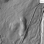
À proximité
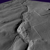
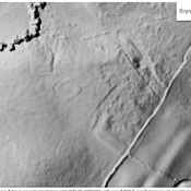
Roman Rd
Roman Rd
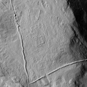
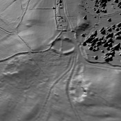
Iron Age Settlement (1 km)
https://maps.nls.uk/geo/explore/side-by-side/#zoom=17.7&lat=52.89082&lon=-3.88727&layers=175&right=LIDAR_DTM_1m
Dolbelydr (2 km)
Practice camp.